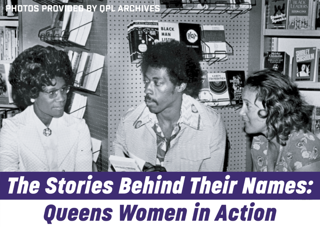
Youth-Driven Map-Making with Open Data / Maps at MIXI Club

In this session, we present projects from Maps @ MIXI, a mapping club about spatial justice, open data, and critical cartography. Throughout the year, five NYC youth worked on four projects during the club in which they analyzed NYC Open Data and other open data sets like the US Census. The projects span a variety of topics – access to pools, the housing crisis, restaurant hygiene ratings, and youth-targeting police activity. The projects are youth-driven and represent the questions youth bring to open data.
First, this will briefly introduce the Maps @ MIXI club. Then, each youth/team will briefly discuss their project, the motivation behind the work, and the map they created.
Unequal Pool Distribution Around NYC and How It Affects Overall Public Health by Zachary Kiselev
How can we use NYC Open Data to understand whether pool access is unevenly distributed between neighborhoods, and how can this be used as a marker for overall public health?
Using NYC Open Data to Understand the Causes of New York City’s Housing Crisis by Oleksandra Borysova
How can NYC Open Data show why NYC has a housing crisis by looking at vacancy, rents, wages, population changes, transportation, and Airbnb listings?
Predicting Restaurant Hygiene Grades Across New York City by Gab Dechirico and Mariam Khan
In New York City, to what extent do neighborhood socioeconomic indicators and cuisine types predict a restaurant’s likelihood of receiving an “A” hygiene grade, after accounting for inspection frequency and violation patterns?
Policing and Youth: Analyzing Police Stops of Youth in New York City by Wen Chen
How does the racial composition of youth subjected to police stops within 700 feet of NYC public schools differ from the racial composition of youth residing in the surrounding census tracts?